IADI Image
Metadata
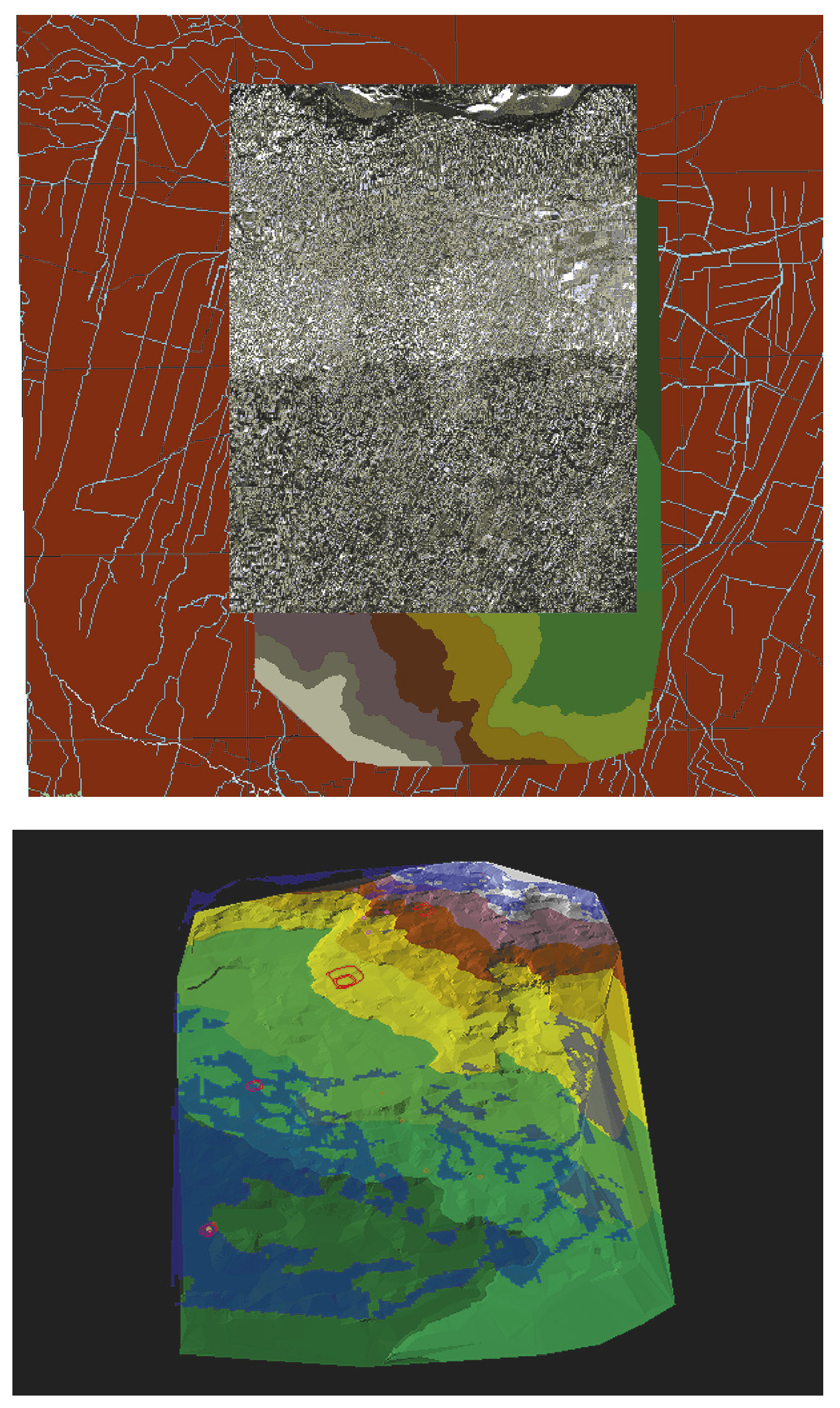
| Caption | a: 2D digital overlay of georeferenced data: vector layers, mosaic of aerial photos, DEM, digital cartography (1:10.000). b: Analysis of visibility from the site of S. Rosa: blue pixels are corresponding to the visible areas on the horizon. |
| Figure number | 13 |
| Article | Reconstructing a fossil landscape by Remote Sensing and GIS applications: sites, virtual models and territory during the Middle Bronze Age in the Po Plain (Northern Italy) |
| Authors | Cremaschi M., Forte M. |
| Volume | Volume 10 |