IADI Image
Metadata
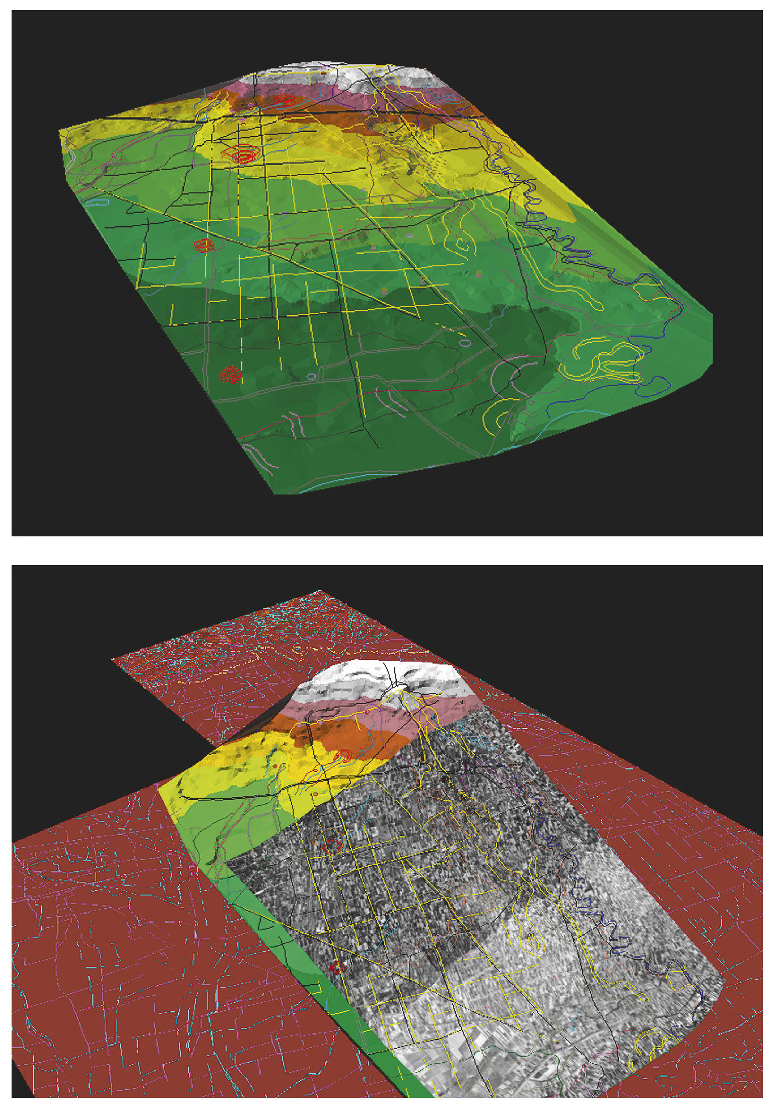
| Caption | a: The territory of terramare in the central Po Plain (Reggio Emilia): 3D processing including DEM, paleochannels, ridges, small meandering water courses, low lying flood basins, unstructured Bronze Age sites, terramare, main axes of the Roman centuriation, contour lines. b: The territory of terramare in the central Po Plain (Reggio Emilia): texture mapping of aerial photomosaic on the DEM. |
| Figure number | 12 |
| Article | Reconstructing a fossil landscape by Remote Sensing and GIS applications: sites, virtual models and territory during the Middle Bronze Age in the Po Plain (Northern Italy) |
| Authors | Cremaschi M., Forte M. |
| Volume | Volume 10 |