IADI Image
Metadata
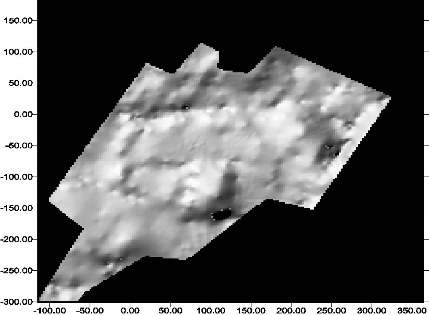
| Caption | Shaded relief image of the DEM of Monticelli: in evidence shape and morphology of the embankment. |
| Figure number | 8 |
| Article | Reconstructing a fossil landscape by Remote Sensing and GIS applications: sites, virtual models and territory during the Middle Bronze Age in the Po Plain (Northern Italy) |
| Authors | Cremaschi M., Forte M. |
| Volume | Volume 10 |