Volumes / Journal / 19 - 2008 / Johnson I.
Click on any image to open slideshow
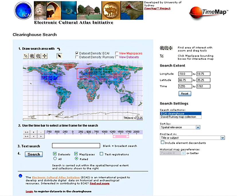
Fig. 1 – ECAI Clearinghouse spatial/temporal/textual search interface.
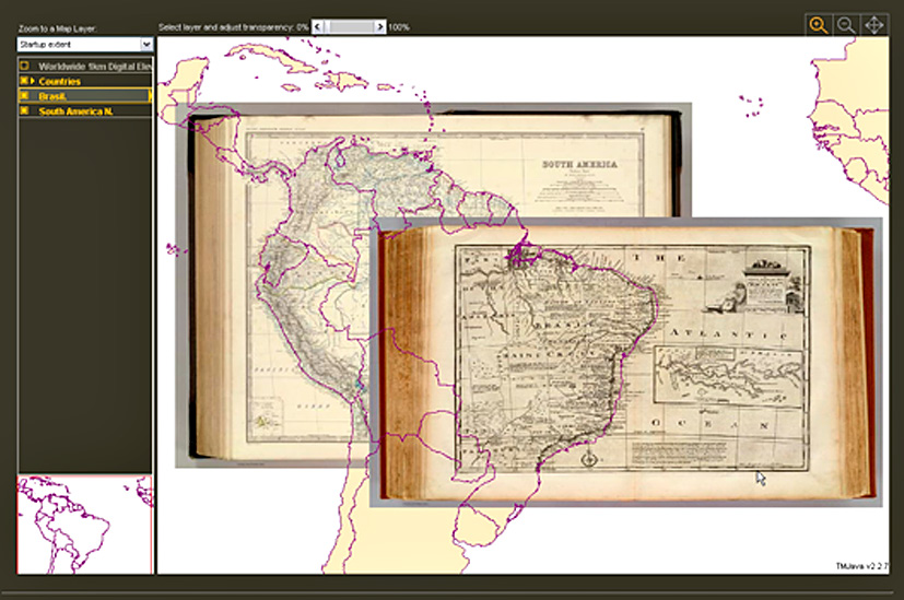
Fig. 2 – An interactive TimeMap of historical maps from the David Rumsey Map Lib...
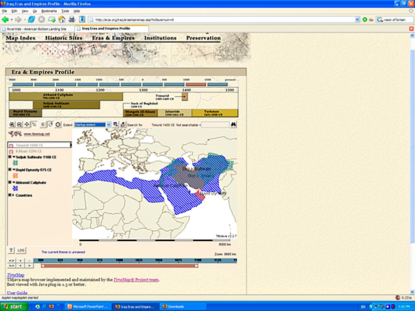
Fig. 3 – ECAI Iraq Atlas interactive map. The atlas combines TimeMap maps with l...
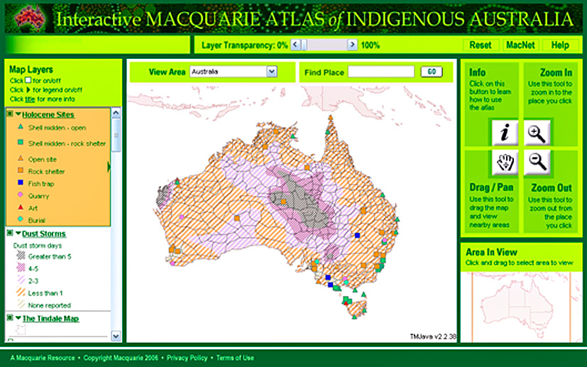
Fig. 4 – Interactive Macquarie Atlas of Indigenous Australia, a printed atlas co...
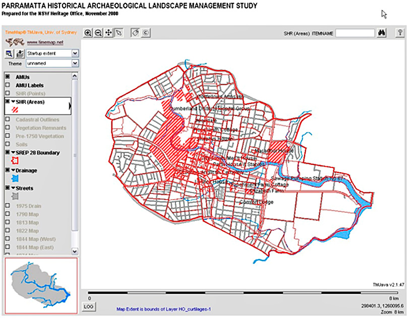
Fig. 5 – Interactive TimeMap of Archaeological Management Units for the City of ...
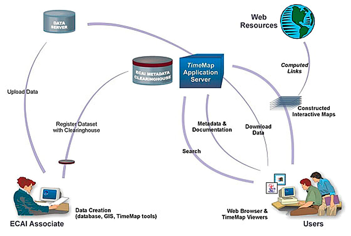
Fig. 6 – Structure of the ECAI cultural data collaboration based on the ECAI met...
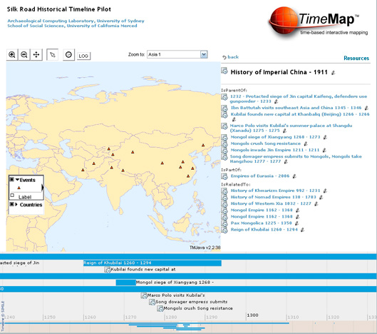
Fig. 7 – Historical events recorded in Heurist rendered as coordinated map, time...
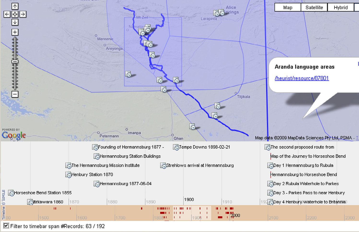
Fig. 8 – A set of historical events in Heurist rendered using Google Maps and th...
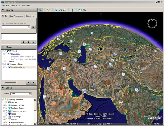
Fig. 9 – The same set of historical events rendered in Google Earth.
Johnson I. 2008, Mapping the fourth dimension: a ten year retrospective, Archeologia e Calcolatori 19