Volumes / Journal / 19 - 2008 / Moscati P.
Click on any image to open slideshow
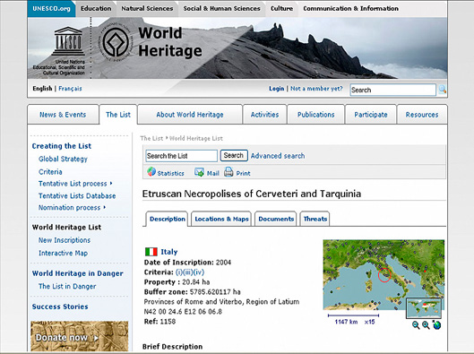
Fig. 1 – UNESCO World Heritage List.
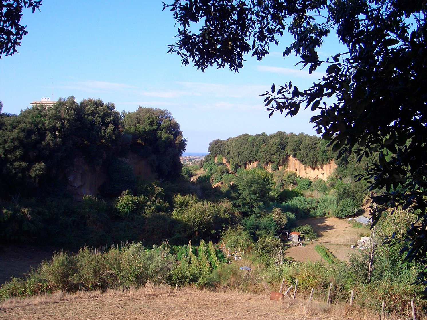
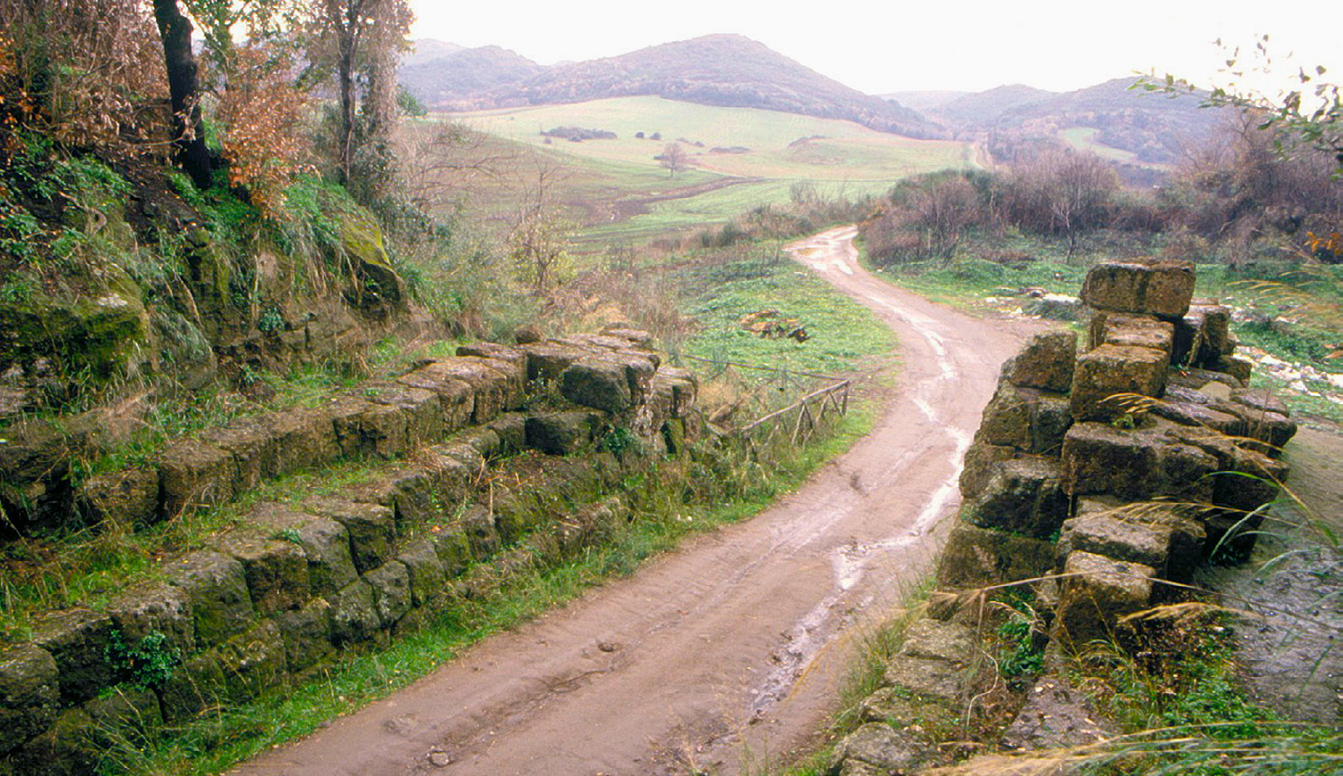
Fig. 2 – A typical Caeretan landscape.
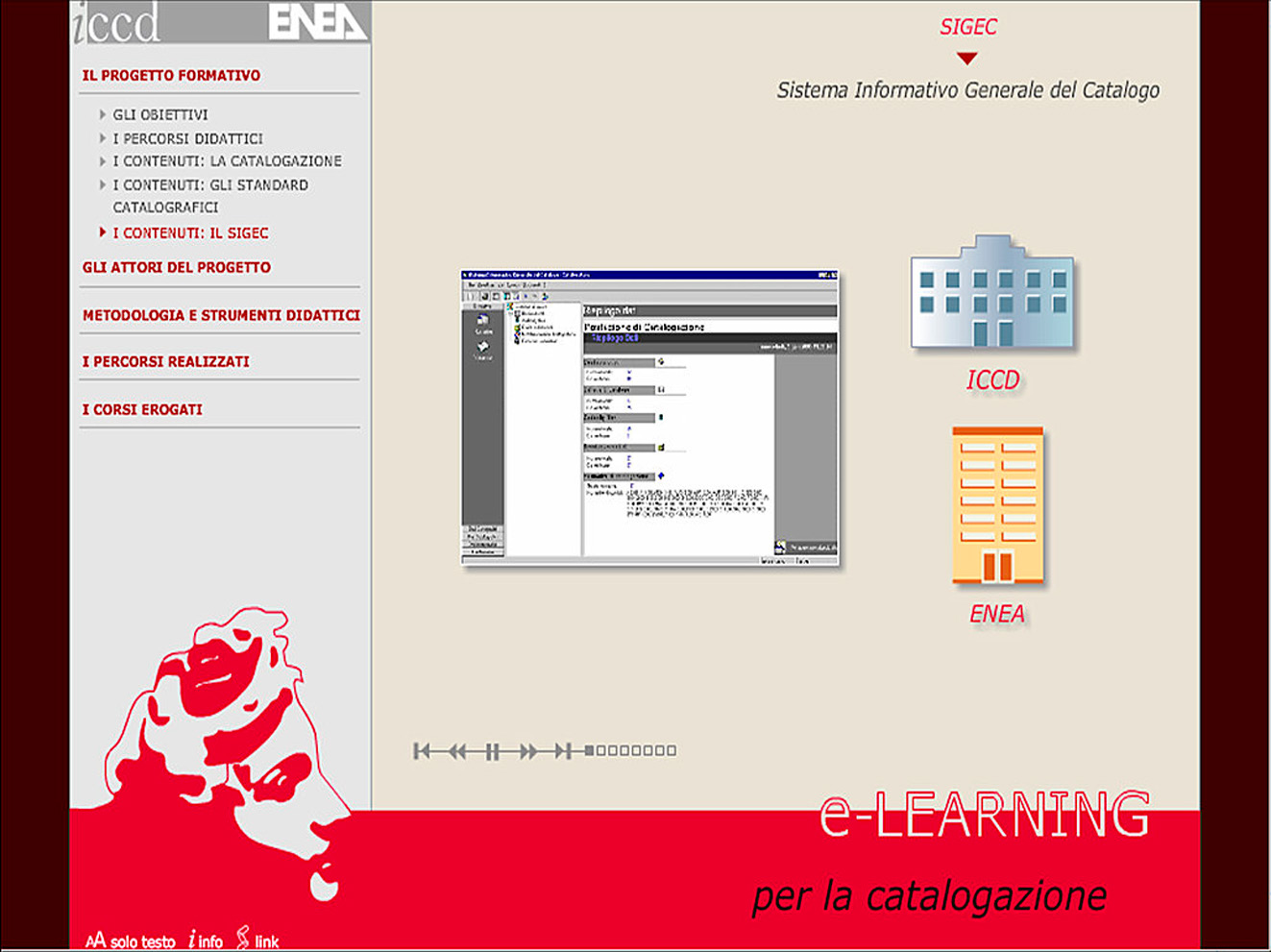
Fig. 3 – SIGEC e-learning website.
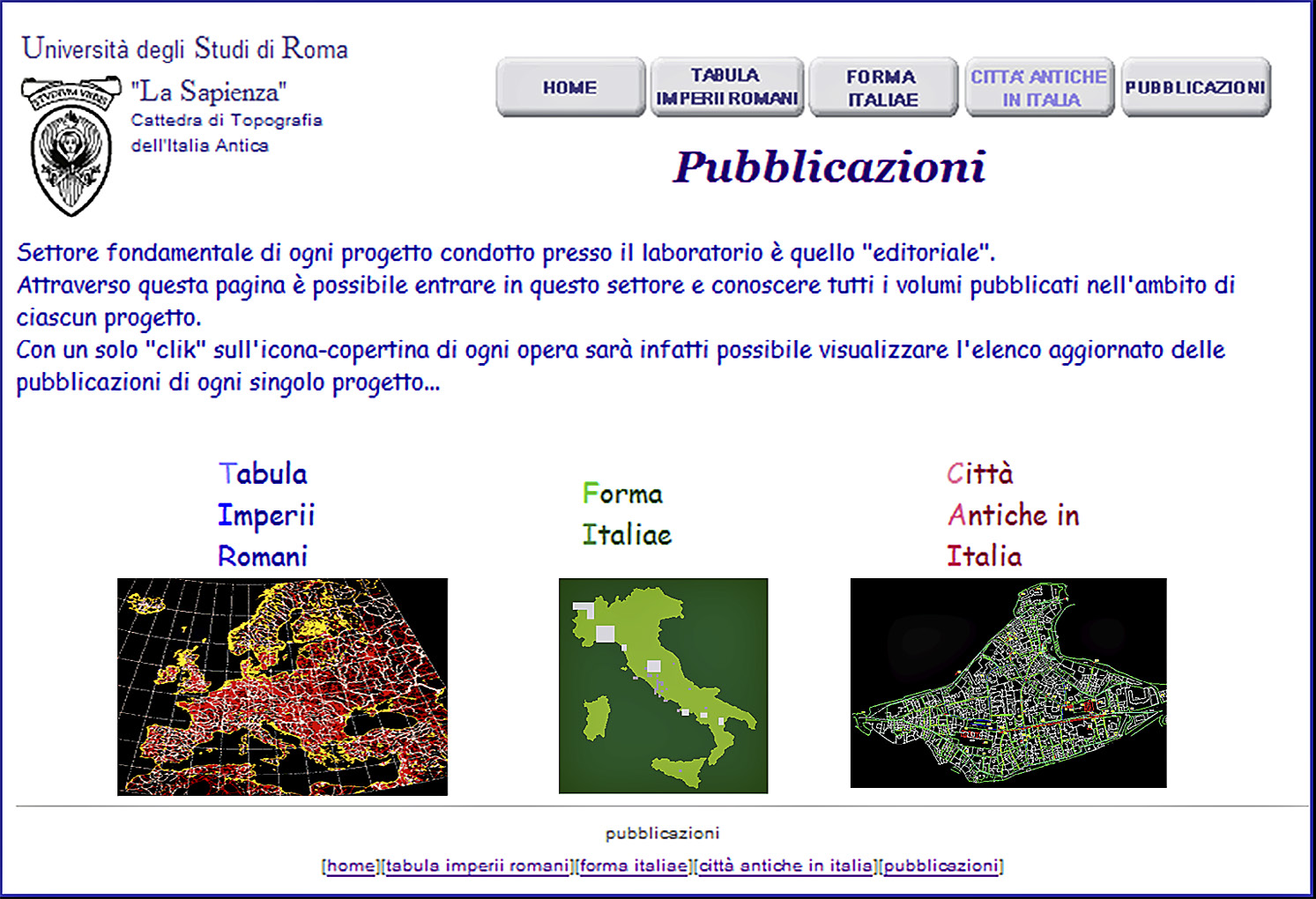
Fig. 4 – Projects promoted by the Chair of Ancient Topography, University of Rom...
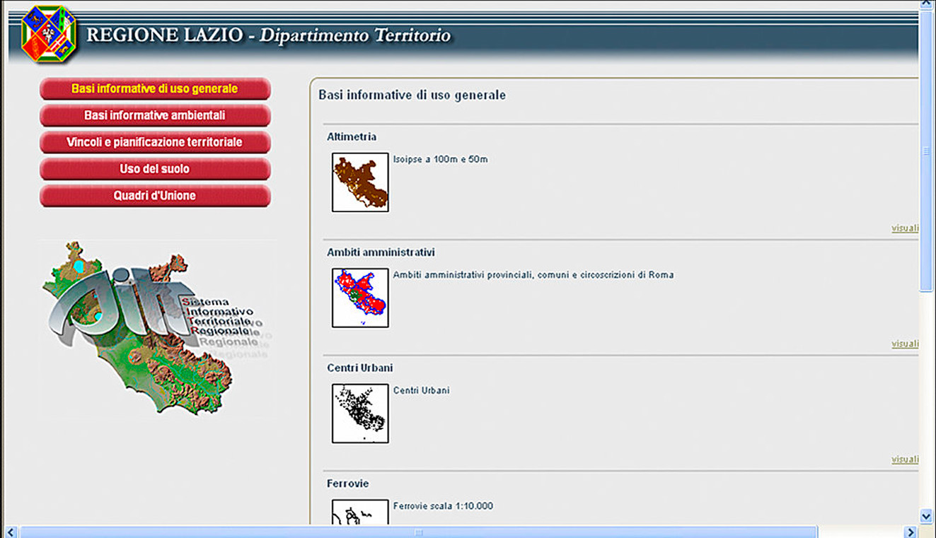
Fig. 5 – The Territorial Information System developed by the Lazio Region.
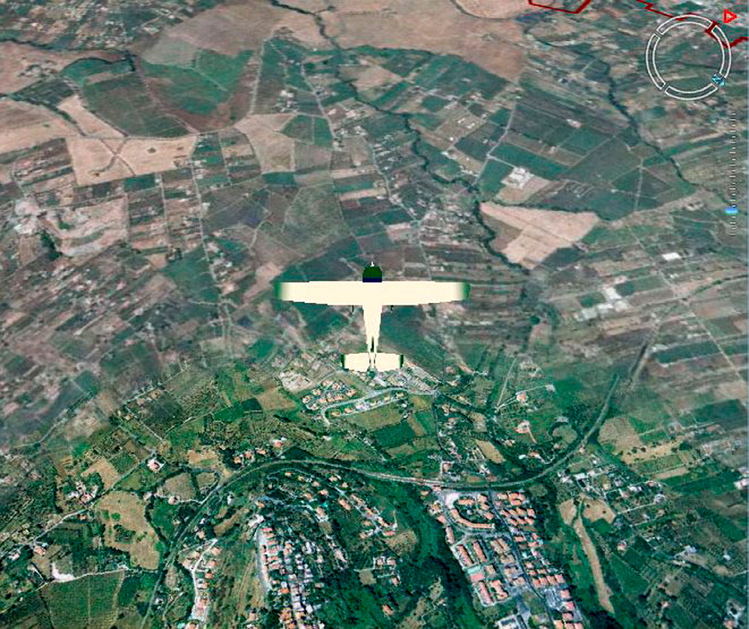
Fig. 6 – An example of the “flight” methodology during the itinerary.
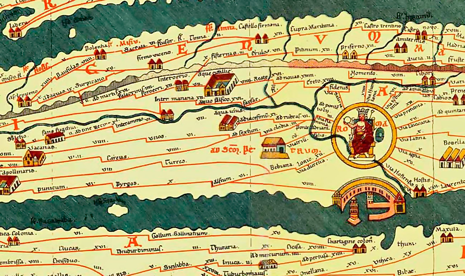
Fig. 7 – The Via Aurelia (see the arrow) as represented in the Tabula Peutingeri...
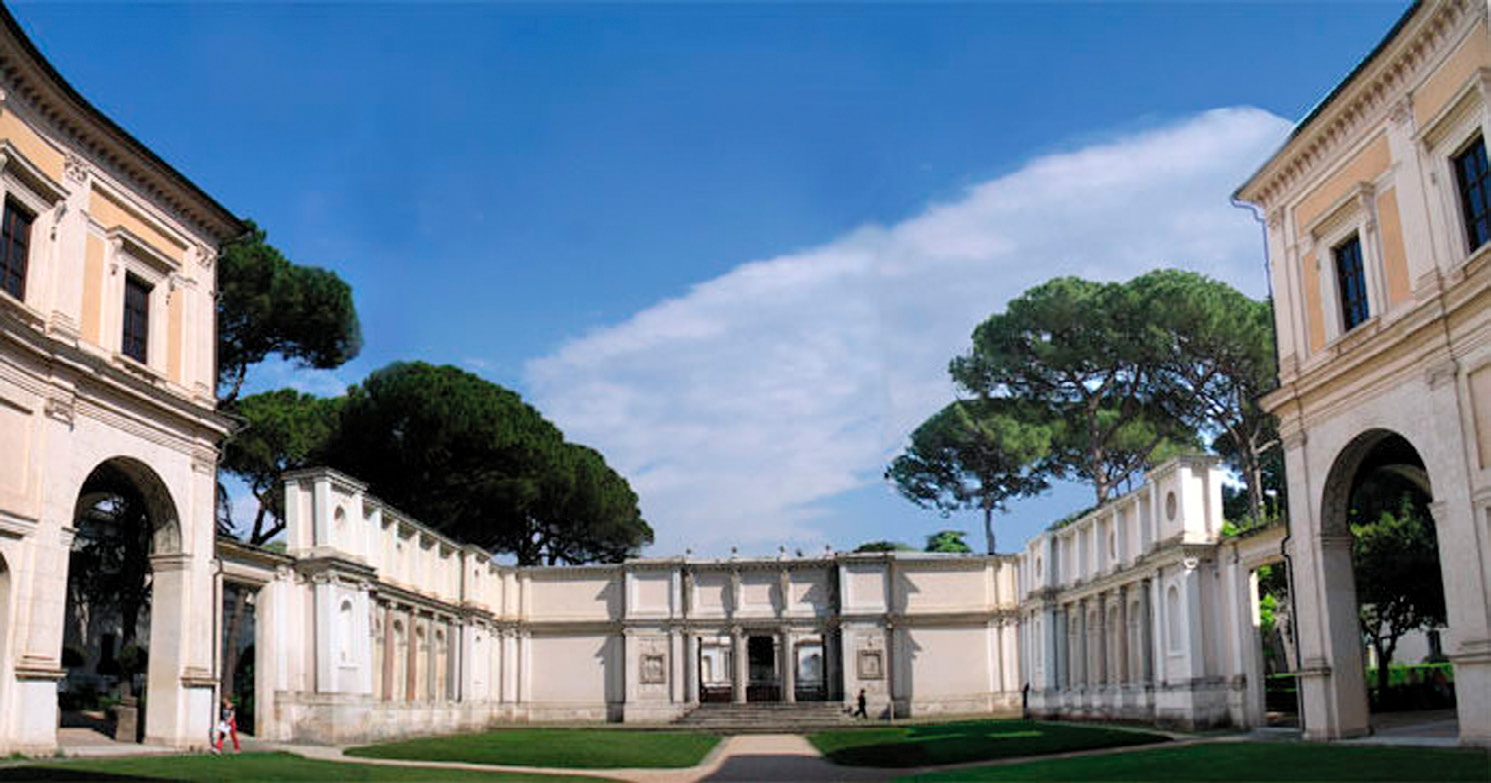
Fig. 8 – Villa Giulia Etruscan National Museum: the courtyard.
Fig. 9 – Caere: the “Porta Coperta” gate.
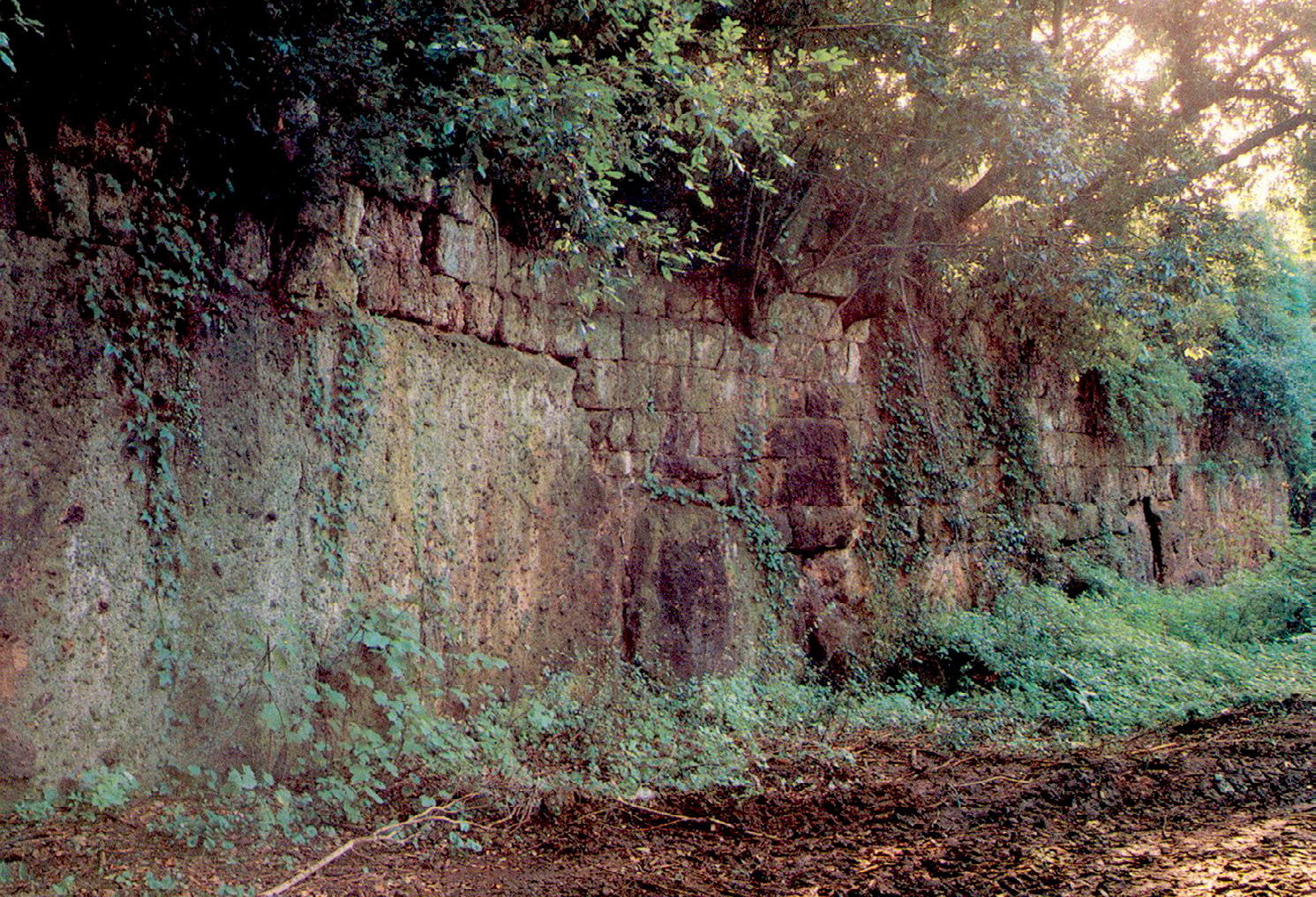
Fig. 10 – Caere: part of the original tufa walls.
Moscati P. 2008, Webmapping in the Etruscan landscape, Archeologia e Calcolatori 19