IADI Image
Metadata
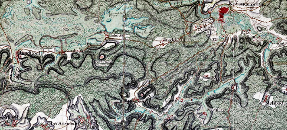
| Caption | Excerpt of the map of the Palatinate Forest, from Jean-Jaques Nadin, 1736/1737. |
| Figure number | 1 |
| Article | Integrative GIS-based investigation of the medieval fortress architecture of Pfalz, incorporating photogrammetry, geoinformatics and landscape analysis |
| Authors | Pattee A., Volkmann A., Untermann M. |
| Volume | Volume 28(2) |