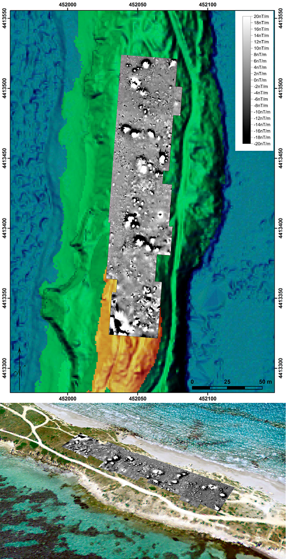
| Caption | Geomagnetic survey of the isthmus Sa Codriola (top) and overlapping with the digital terrain model (bottom). Optically pumped potassium gradiometer, sensors distance 1.30 m. Data acquisition and processing: F. Boschi. |
| Figure number | 3 |
| Article | Tharros - Capo San Marco in the
Phoenician and Punic Age. Geophysical
investigations and virtual rebuilding |
| Authors | Fariselli A., Boschi F., Silani M., Marano M. |
| Volume |
Volume 28(2)
|
| Pleiades places |
https://pleiades.stoa.org/places/472032 |
| Subjects |
| methodologies and technologies |
| geophysics |
| computer images |
| image processing; digital terrain models |