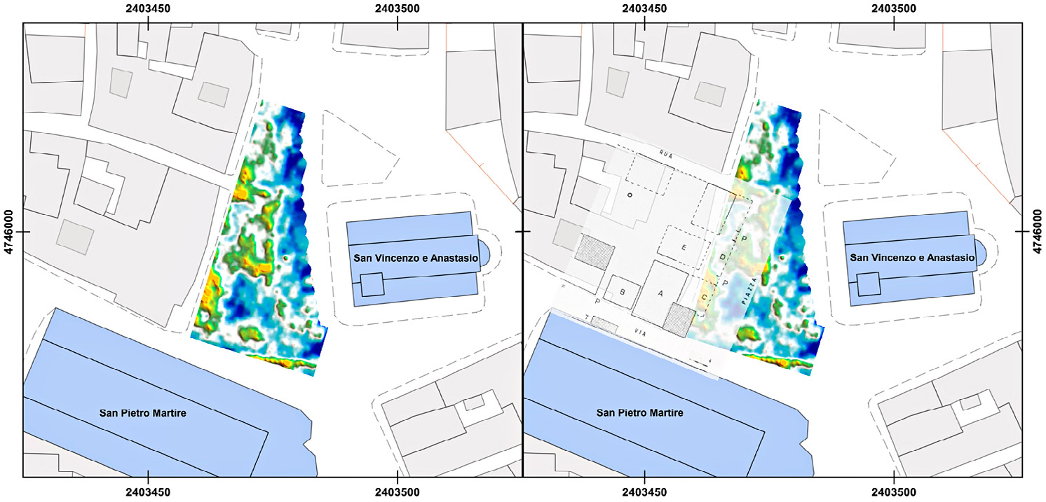
| Caption | GPR survey in Piazza Ventidio Basso (depth of the slice-map: 0.60-0.80 m): on right, overlapping with an archival document (from Sestili, Torsani 1995) which attested in the medieval period the presence of structures in correspondence of some radar reflections. Elaboration: F. Boschi. |
| Figure number | 2 |
| Article | Reconstructing the ancient urban
landscape in a long-lived city: the
Asculum Project, combining research,
territorial planning and preventative
archaeology |
| Authors | Boschi F., Giorgi E., Silani M. |
| Volume |
Volume 28(2)
|