IADI Image
Metadata
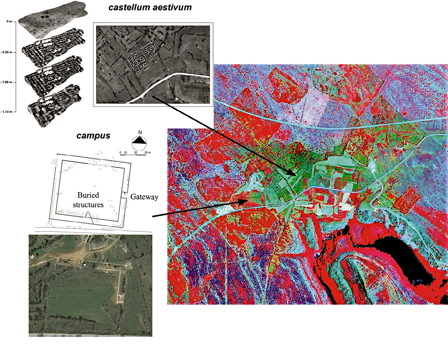
| Caption | The GeoEye image in false color (RGB combination 432) and the identification of buried archaeological contexts in the western part of the site. |
| Figure number | 4 |
| Article | Geo-archaeological study of the territory of Burnum’s Roman site (Croatia) through LANDSAT multi-temporal satellite images and high resolution GeoEye |
| Authors | Campedelli A., Dubbini M., Monica M. |
| Volume | Volume 28(2) |