IADI Image
Metadata
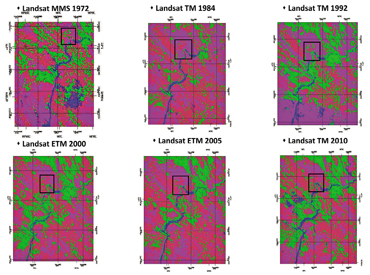
| Caption | Landsat images processing and classification according to the following classes: vegetation (green), water (blue), urbanized-bare soil (purple), rock (red). |
| Figure number | 3 |
| Article | Geo-archaeological study of the territory of Burnum’s Roman site (Croatia) through LANDSAT multi-temporal satellite images and high resolution GeoEye |
| Authors | Campedelli A., Dubbini M., Monica M. |
| Volume | Volume 28(2) |