IADI Image
Metadata
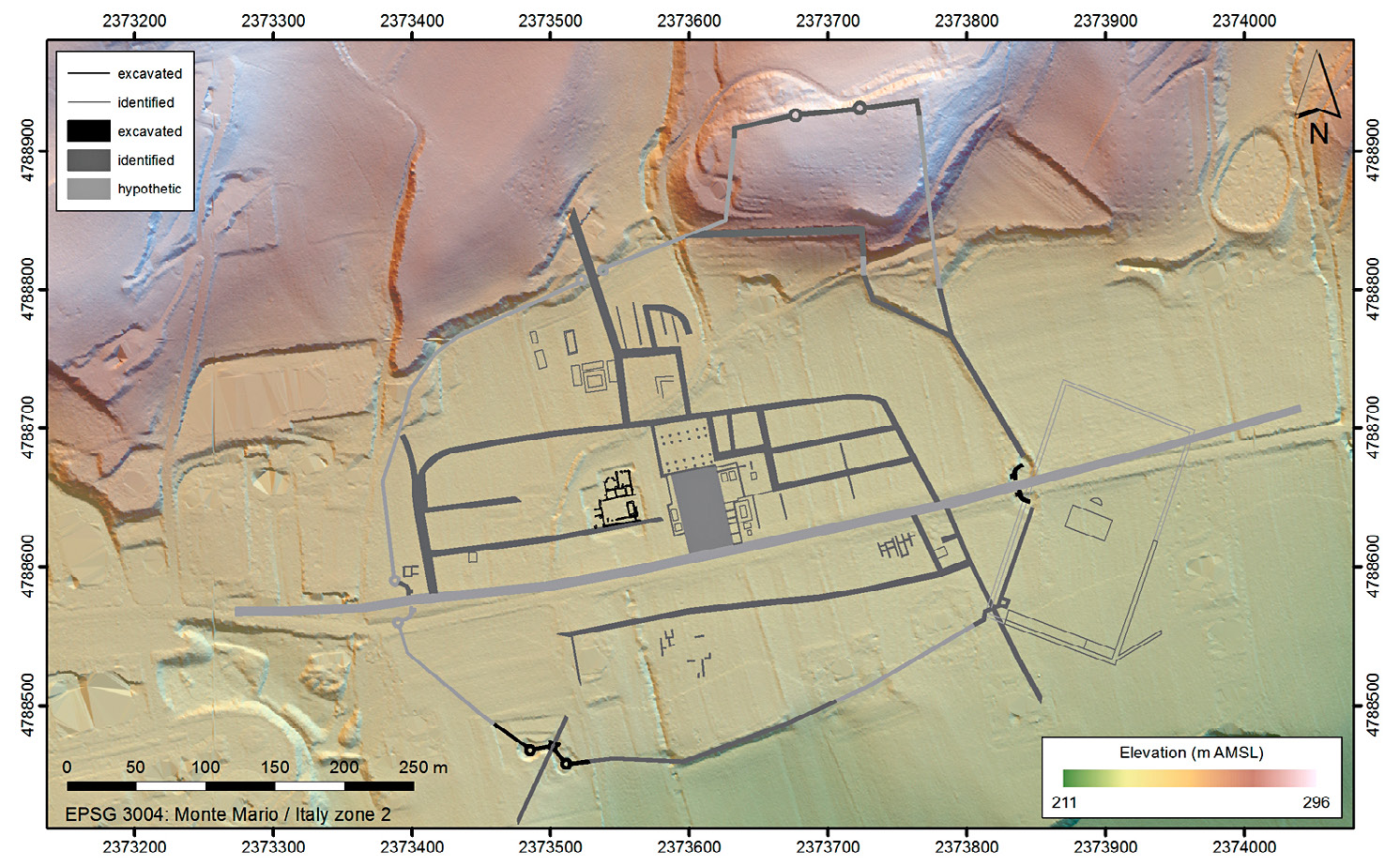
| Caption | Interpretative mapping of geophysical and aerial survey evidence combined with some excavated data, presented on a background of LiDAR imagery of the Roman town site of Septempeda. Elaboration: F. Vermeulen, D. Taelman and F. Carboni. |
| Figure number | 2 |
| Article | Scanning and visualization of Roman Adriatic townscapes |
| Authors | Vermeulen F. |
| Volume | Volume 28(2) |