IADI Image
Metadata
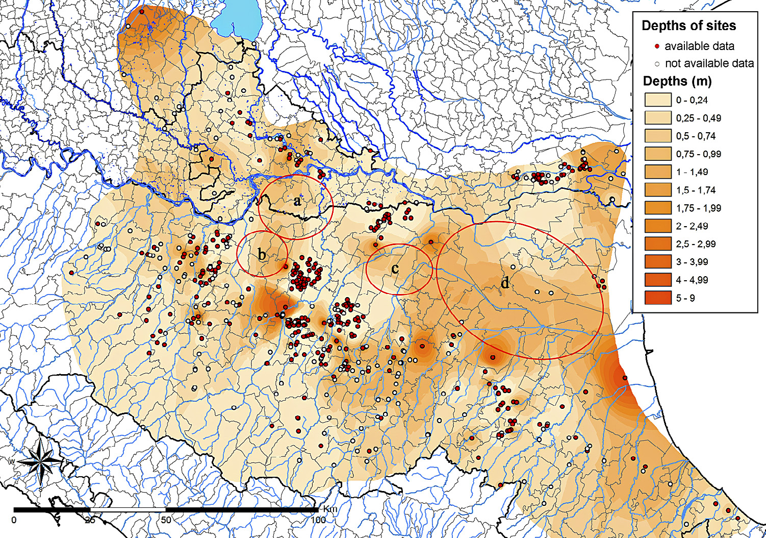
| Caption | Provisional map of the depth of 6th-4th centuries BC contexts. |
| Figure number | 3 |
| Article | Open architecture RDBMS and GIS as tools for analysing the Etruscan presence in the Po Plain: towards a model of the urban/non urban landscape |
| Authors | Quirino T. |
| Volume | Volume 28(2) |
| Pleiades places | https://pleiades.stoa.org/places/383704 |
| https://pleiades.stoa.org/places/383715 | |
| https://pleiades.stoa.org/places/383755 | |
| https://pleiades.stoa.org/places/393421 | |
| https://pleiades.stoa.org/places/393422 | |
| https://pleiades.stoa.org/places/393480 | |
| Subjects | |
| environments | |
| regions | |
| maps | |
| thematic maps |