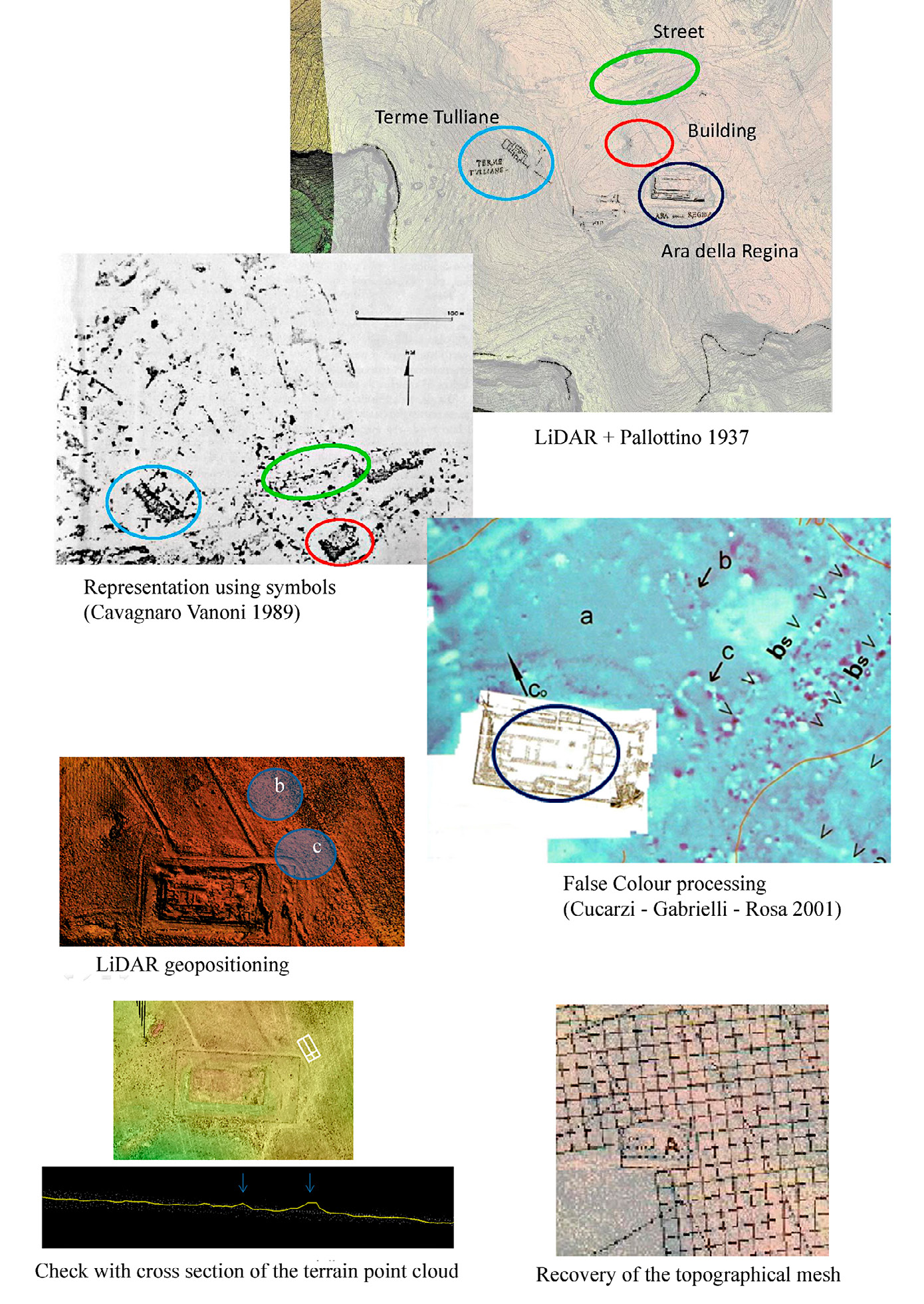
| Caption | GIS comparison between signs concerning buried archaeological remains and the results of magnetometry; check of every single sign by querying the LiDAR point cloud; positioning of the mesh with the topographic cornerstones. |
| Figure number | 2 |
| Article | The last ten years of research at
Tarquinia |
| Authors | Bagnasco Gianni G., Marzullo M., Garzulino A. |
| Volume |
Volume 28(2)
|
| Pleiades places |
https://pleiades.stoa.org/places/413332 |
| Subjects |
| methodologies and technologies |
| topography; geographic information systems; geophysics |
| composition; computer images |
| user interfaces |