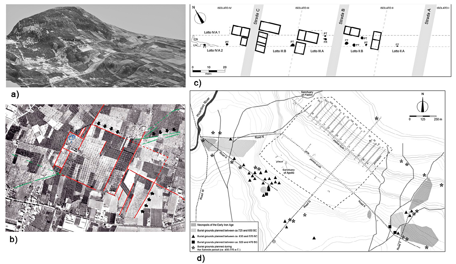
| Caption | Pontecagnano: a) Draping of aerial photograph over DTM; b) Town limits in the aerial photograph of 1956; c) Housing blocks explored during the highway excavation (after Pellegrino, Rossi 2011, ); d) Plan of the ancient settlement. |
| Figure number | 4 |
| Article | Contemporary landscape and the
archaeological record. An integrated
approach to the study of the
Etruscan-Samnite site of Pontecagnano
(SA) |
| Authors | Pellegrino C., Rossi A. |
| Volume |
Volume 28(2)
|
| Pleiades places |
https://pleiades.stoa.org/places/442728 |
| Subjects |
| environments; sites |
| landscapes; archaeological sites |
| composition; photographs; drawings |
| black-and-white photography; plans |