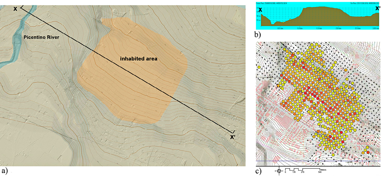
| Caption | Pontecagnano: a) DTM from Campania Region’s LiDAR; b) Geomorphological profile of the inhabited area; c) Prospections of the Lerici Foundation: thickness of the archaeological stratum. |
| Figure number | 3 |
| Article | Contemporary landscape and the
archaeological record. An integrated
approach to the study of the
Etruscan-Samnite site of Pontecagnano
(SA) |
| Authors | Pellegrino C., Rossi A. |
| Volume |
Volume 28(2)
|
| Pleiades places |
https://pleiades.stoa.org/places/442728 |
| Subjects |
| methodologies and technologies; sites |
| topography; archaeological sites |
| composition; maps |
| digital terrain modeling; relief maps; thematic maps |