IADI Image
Metadata
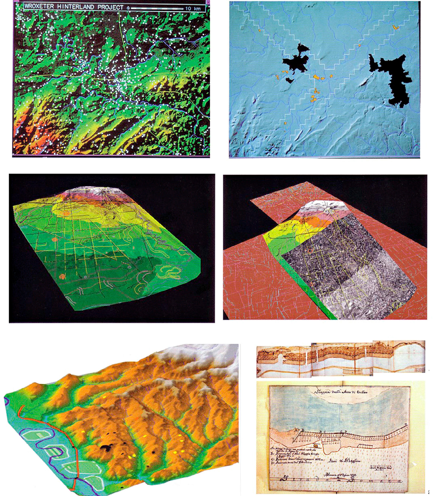
| Caption | a) The Wroxeter Hinterland Project (White 1996); b) The central Po Plain: texture mapping and aerial photomosaic superimposed on the DEM (Cremaschi, Forte 1999); c) The Tiber Valley and the original course of the river as derived from archival sources (Colosi et al. 2000). |
| Figure number | 5 |
| Article | Archaeological computing and ancient cities: insights from the repository of «Archeologia e Calcolatori» |
| Authors | Moscati P. |
| Volume | Volume 28(2) |
| Subjects | |
| environments | |
| regions | |
| composition; maps; computer images | |
| Thematic maps; digital terrain models; manuscript maps |