IADI Image
Metadata
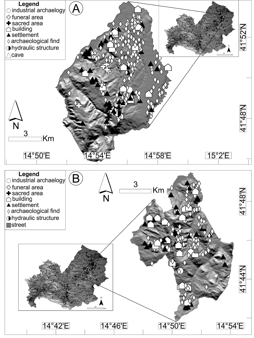
| Caption | Map of the archaeological sites for all the municipalities with more than 100 mapped sites. A = Larino; B = Casacalenda. Archaeological sites have been classified according to site typology of the “description” field of the “archaeological site” shapefiles (see Material and Methods section for detail). |
| Figure number | 3 |
| Article | GIS mapping of the archaeological sites in the Molise region (Italy) |
| Authors | Valente E., Cozzolino M. |
| Volume | Volume 30 |