IADI Image
Metadata
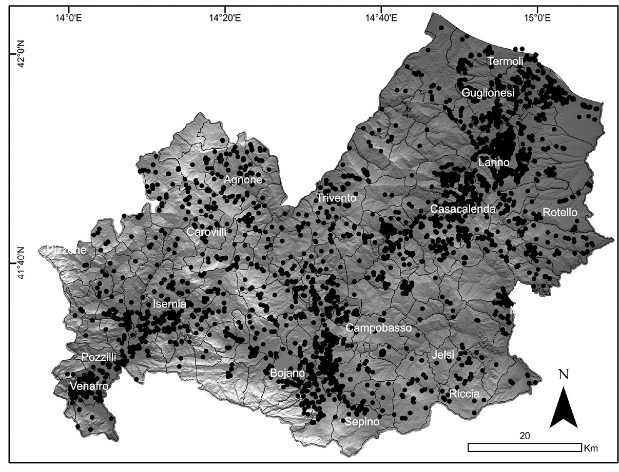
| Caption | Spatial distribution of the mapped archaeological sites, plotted on a 40 m DTM of the Molise Region. Black dots indicate the archaeological sites whereas black lines indicate the borders of all the municipalities of the Molise Region. |
| Figure number | 2 |
| Article | GIS mapping of the archaeological sites in the Molise region (Italy) |
| Authors | Valente E., Cozzolino M. |
| Volume | Volume 30 |