IADI Image
Metadata
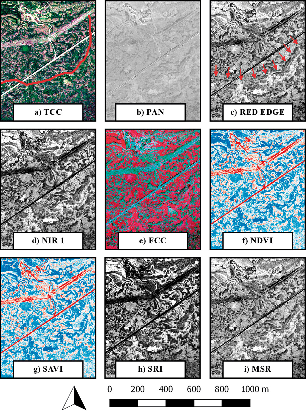
| Caption | Wall-structure, in Santa Venera district, seen from the channels of the WV-2 and through the calculated indices: a) TCC; b) PAN; c) Red Edge; d) NIR 1; e) FCC; f) NDVI; g) SAVI; h) SRI; i) MSR. |
| Figure number | 9 |
| Article | GIS and remote sensing for post-dictive analysis of archaeological features. A case study from the Etnean region (Sicily) |
| Authors | Gennaro A., Candiano A., Fargione G., Mussumeci G., Mangiameli M. |
| Volume | Volume 30 |
| Subjects | |
| architecture | |
| composition; maps | |
| thematic maps |