IADI Image
Metadata
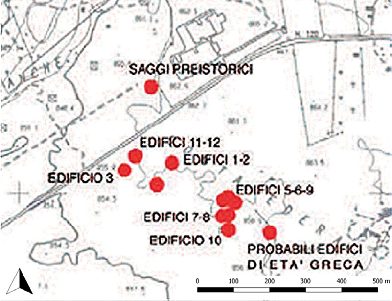
| Caption | Areas of intervention and findings of 2015, contrada Balze Soprane and Edera (from Puglisi, Turco 2015, 69). |
| Figure number | 4 |
| Article | GIS and remote sensing for post-dictive analysis of archaeological features. A case study from the Etnean region (Sicily) |
| Authors | Gennaro A., Candiano A., Fargione G., Mussumeci G., Mangiameli M. |
| Volume | Volume 30 |
| Subjects | |
| methodologies and technologies | |
| maps | |
| thematic maps |