IADI Image
Metadata
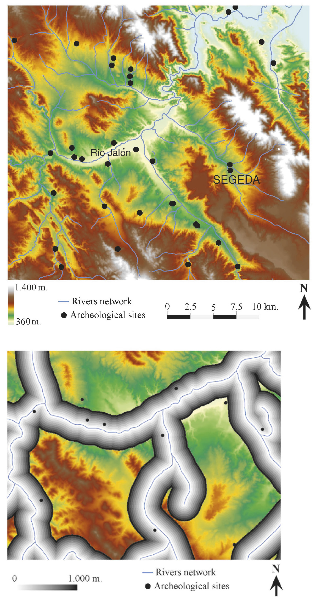
| Caption | a: Digital Elevation Model of Segeda and its environs. b: Distance from the sites to the water courses. |
| Figure number | 6 |
| Article | 'Segeda Project': the I.T. management of the territory of a Celtiberian city-state |
| Authors | Burillo Mozota F., Escolano Utrilla S., Ruíz Budría E. |
| Volume | Volume 15 |