IADI Image
Metadata
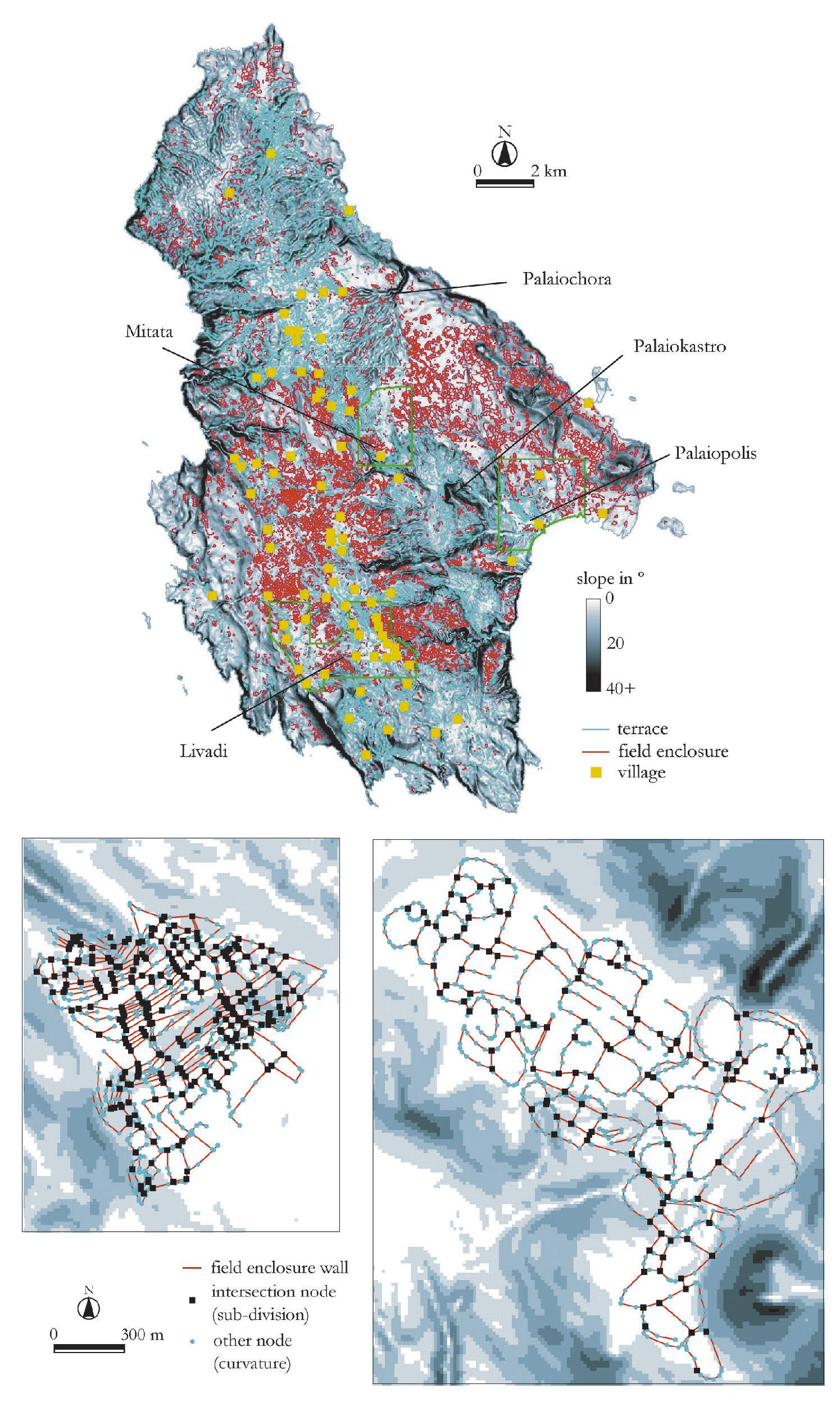
| Caption | - b: Slope map of the island with field enclosures, terraces and villages as recorded in the 1960s. Note the rough spatial separation of large areas of terracing and of field enclosure systems. c: Two different field enclosure systems from a) central Kythera (west of the modern village of Dokana) and b) eastern Kythera (west of the modern village of Diakofti). Enclosure polylines and their constituent nodes area shown on top of a slope map (the average slope for both areas is ca. 3º). |
| Figure number | 16 |
| Article | A digital Mediterranean countryside: GIS approaches to the spatial structure of the post-medieval landscape on Kythera (Greece) |
| Authors | Bevan A., Frederick C., Krahtopoulou A. |
| Volume | Volume 14 |