IADI Image
Metadata
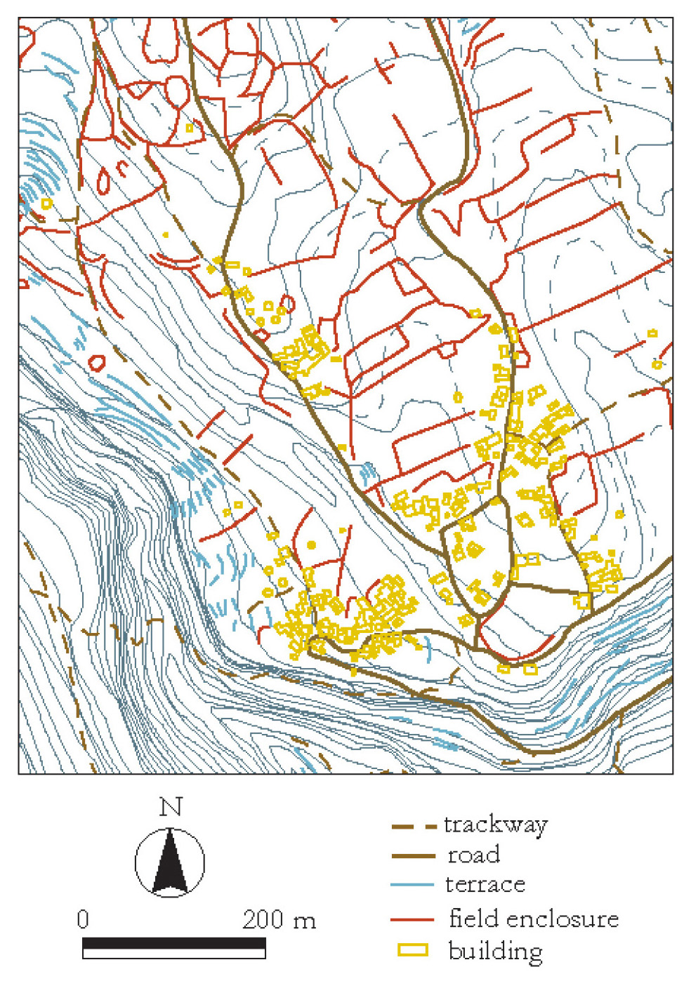
| Caption | a: A digitised section of the Hellenic Military Geographical Service 1:5,000 maps (the solid grey lines are 4m contours, dotted are 2m contours). |
| Figure number | 15 |
| Article | A digital Mediterranean countryside: GIS approaches to the spatial structure of the post-medieval landscape on Kythera (Greece) |
| Authors | Bevan A., Frederick C., Krahtopoulou A. |
| Volume | Volume 14 |