IADI Image
Metadata
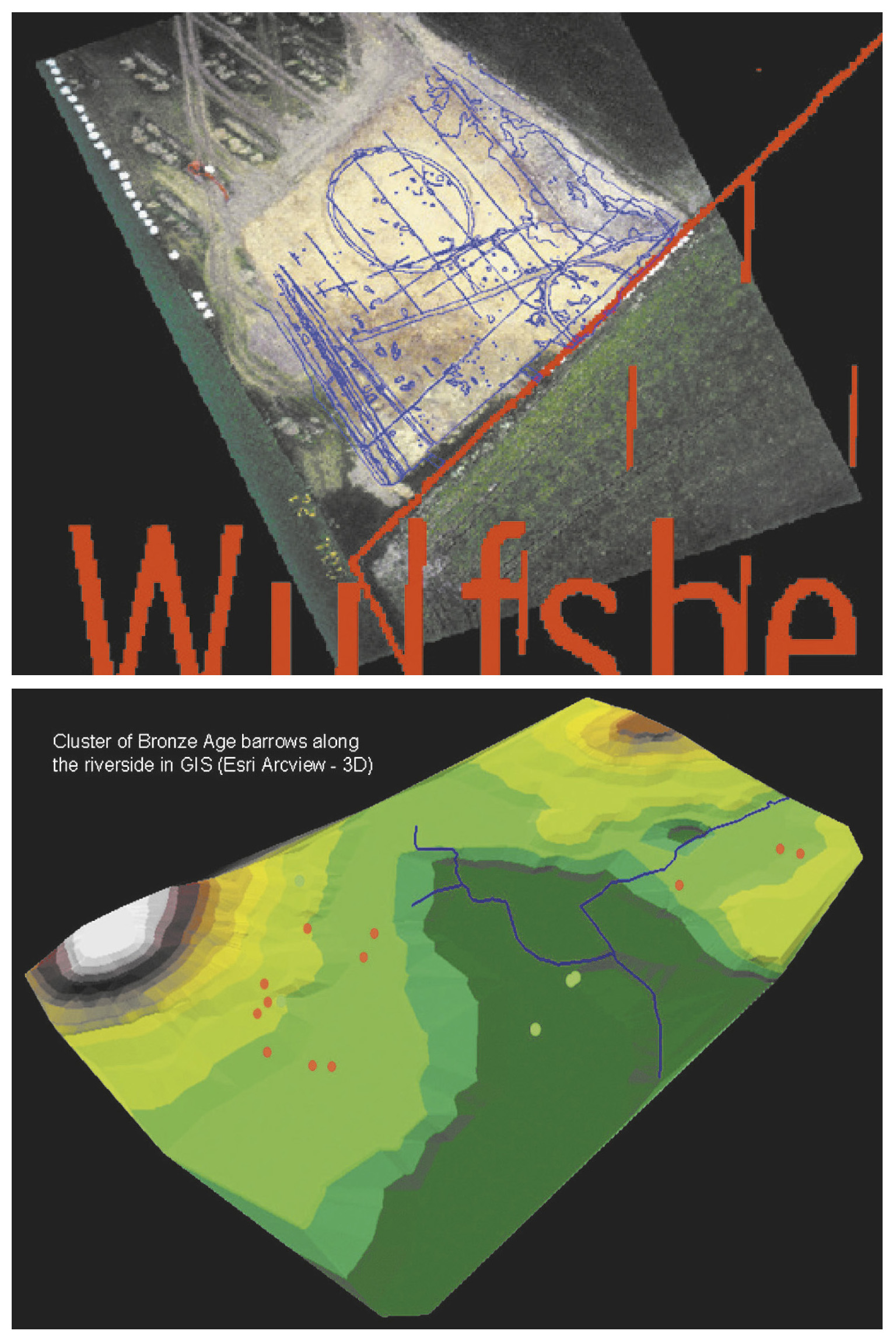
| Caption | The Havik Project. a: Rectified image of an oblique aerial photograph during the excavation and rectified image of the excavation plan, on a topographical layer. b: Cluster of Bronze Age barrows along the riverside in GIS (Esri Arcview - 3D). |
| Figure number | 3 |
| Article | Processing oblique aerial photographs in Flanders: the Havik Project at the Ghent University. A contribution to archaeological resource management |
| Authors | Megank M., Bourgeois J., Roovers I., Lodewijckx M. |
| Volume | Volume 13 |