IADI Image
Metadata
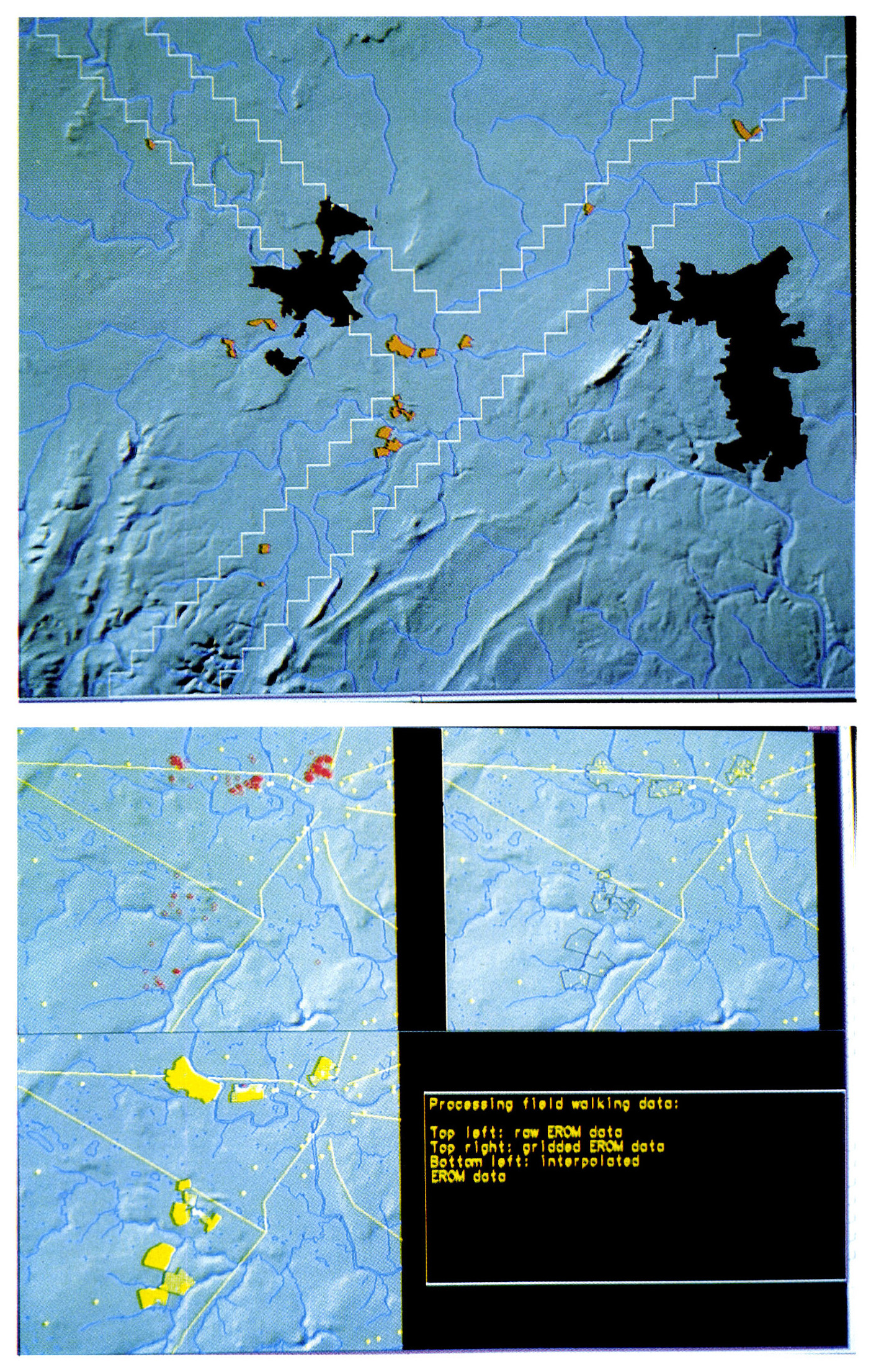
| Caption | - a: Field work transect of the Wroxeter Hinterland Project (white), with areas surveyed during the 1994-5 field walking season, totalling 387 hectares. The built-up areas of Shrewsbury and Telford are masked out. b: Processing of field walking results, detail. Roman roads and stray finds in yellow. Early Roman finds are mapped as points (top left), as raster cells (top right), and as a continuous interpolated surface (bottom left). |
| Figure number | 3 |
| Article | Unbiasing the archaeological record |
| Authors | van Leusen M. |
| Volume | Volume 7 |