IADI Image
Metadata
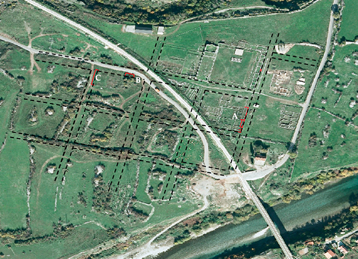
| Caption | Satellite image of Doclea. In red, the ancient structures that overlap the Roman roads. |
| Figure number | 6 |
| Article | The urban planning of Doclea: remote sensing and topographical survey |
| Authors | Colosi F., Merola P., Moscati P. |
| Volume | Volume 11 |