IADI Image
Metadata
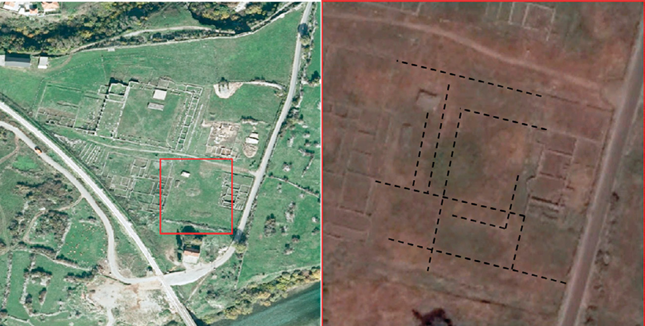
| Caption | Satellite image of the forum area. On the right, the archaeological photo-interpretation of the thermae zone (World View-3 satellite image belonging Google Earth™ 2017, Google Inc. acquired on 15th June 2015). |
| Figure number | 5 |
| Article | The urban planning of Doclea: remote sensing and topographical survey |
| Authors | Colosi F., Merola P., Moscati P. |
| Volume | Volume 11 |