IADI Image
Metadata
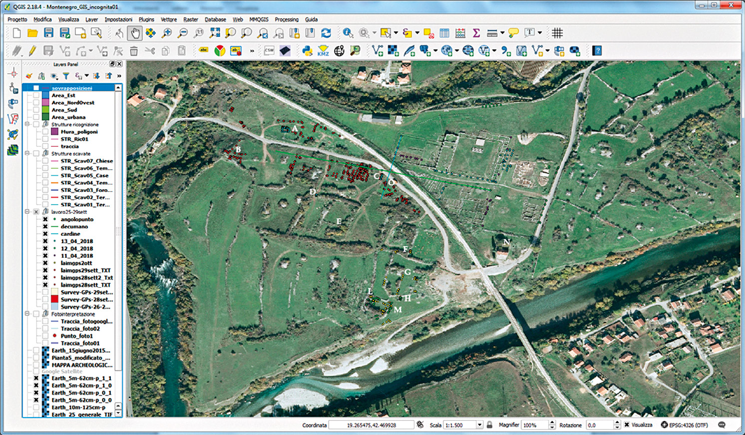
| Caption | Satellite image with the GPS points superimposed. The different colours correspond to the different days of acquisition. |
| Figure number | 4 |
| Article | The urban planning of Doclea: remote sensing and topographical survey |
| Authors | Colosi F., Merola P., Moscati P. |
| Volume | Volume 11 |