IADI Image
Metadata
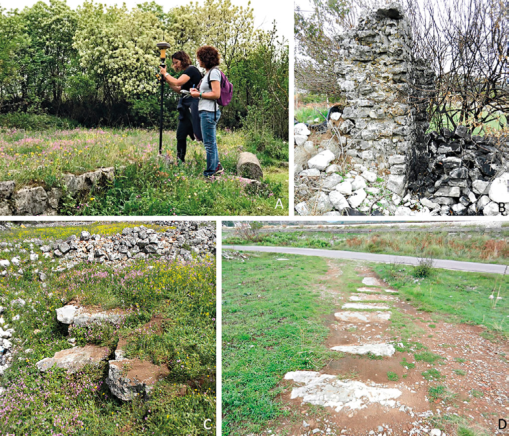
| Caption | A: acquisition of coordinates by means of differential GPS; B: corner of a masonry structure standing in the SE part of the Doclea plateau; C: paving in limestone slabs covering a channel in the SW part of the plateau; D: stone paved road identified during the survey. |
| Figure number | 3 |
| Article | The urban planning of Doclea: remote sensing and topographical survey |
| Authors | Colosi F., Merola P., Moscati P. |
| Volume | Volume 11 |