IADI Image
Metadata
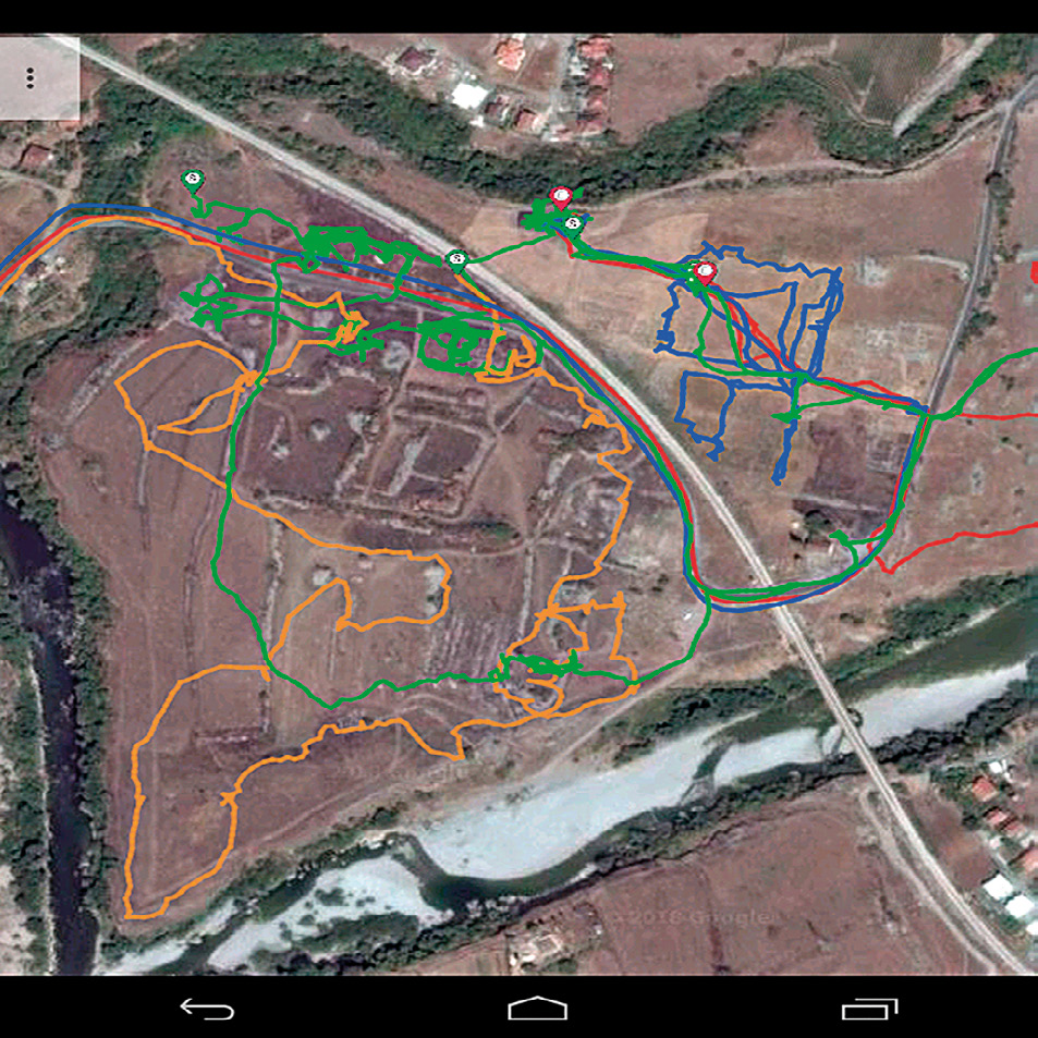
| Caption | The territorial survey. The image displays the survey routes followed on three different days, as registered by tablet. |
| Figure number | 2 |
| Article | The urban planning of Doclea: remote sensing and topographical survey |
| Authors | Colosi F., Merola P., Moscati P. |
| Volume | Volume 11 |