IADI Image
Metadata
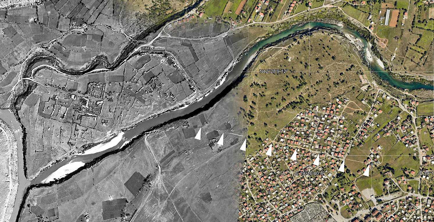
| Caption | Traces of an ancient road, being the continuation of the Doclea decumanus beyond the Moraca river, as seen both in a 1942 aerial photograph of World War II and in a 2014 Google Earth satellite image (satellite WorldView-2, 29/08/2014). |
| Figure number | 3 |
| Article | Before the Romans: the historical and geographical framework of the Doclea valley |
| Authors | Alberti L. |
| Volume | Volume 11 |