IADI Image
Metadata
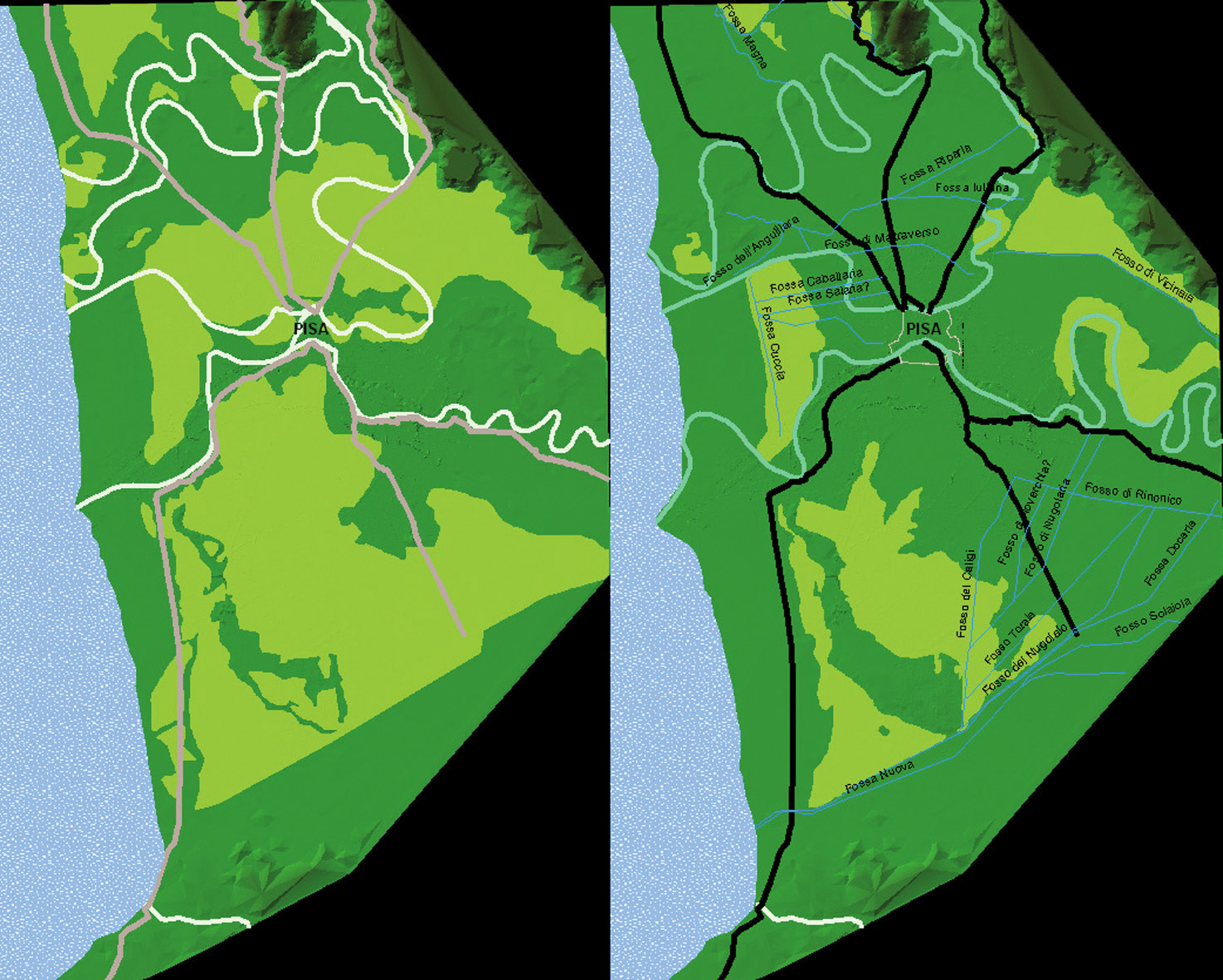
| Caption | The result of this process is the hypothetical model of the landscape in the Early Middle Ages landscape (left) and in the Late Middle Ages (right), with the extent of the marshy areas, the road network and the rivers. |
| Figure number | 8 |
| Article | GIS applications for the archaeological analysis of a medieval town: Pisa, Italy |
| Authors | Gattiglia G. |
| Volume | Volume 3 |