IADI Image
Metadata
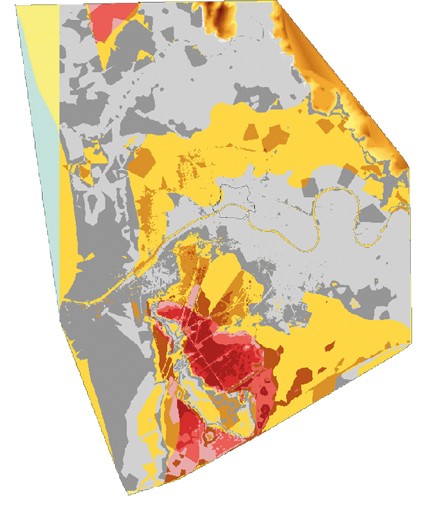
| Caption | The map of potentially marshy. Reddish areas represent high potential for flooding; yellowish areas represent medium potential for flooding and greyish areas represent low potential for flooding. |
| Figure number | 7 |
| Article | GIS applications for the archaeological analysis of a medieval town: Pisa, Italy |
| Authors | Gattiglia G. |
| Volume | Volume 3 |