IADI Image
Metadata
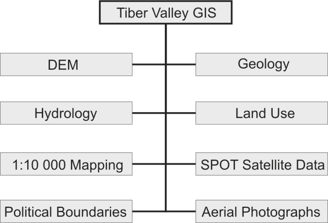
| Caption | Geographical and environmental datasets used within the Tiber Valley Project GIS. |
| Figure number | 4 |
| Article | The Tiber Valley Project. The role of GIS and databases in field survey data integration and analysis |
| Authors | Kay S., Witcher R. |
| Volume | Volume 16 |
| Pleiades places | https://pleiades.stoa.org/places/413062 |
| https://pleiades.stoa.org/places/413114 | |
| https://pleiades.stoa.org/places/413125 | |
| https://pleiades.stoa.org/places/413126 | |
| https://pleiades.stoa.org/places/413133 | |
| https://pleiades.stoa.org/places/413148 | |
| https://pleiades.stoa.org/places/413224 | |
| https://pleiades.stoa.org/places/413328 | |
| https://pleiades.stoa.org/places/413350 | |
| https://pleiades.stoa.org/places/423116 | |
| Subjects | |
| methodologies and technologies | |
| data | |
| graphic document genres | |
| graphs |