IADI Image
Metadata
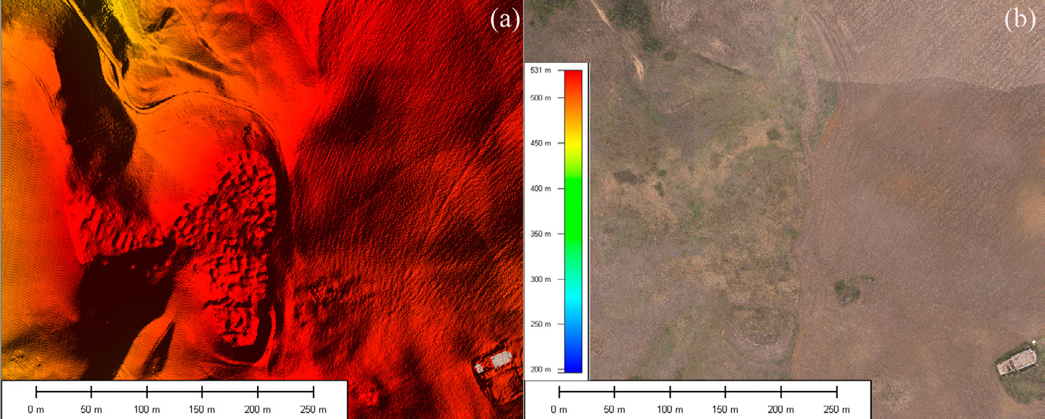
| Caption | 3D view of DTM: a) DTM of the medieval settlements and surroundings, b) orthophoto acquired at the same time as LiDAR survey, c) zoom of medieval settlements. |
| Figure number | 6 |
| Article | Investigating lost medieval villages using Satellite and Airborne Laser Scanning: the case of Yrsum in Basilicata (Southern Italy) |
| Authors | Masini N., Coluzzi R., Lasaponara R. |
| Volume | Volume 21 |