IADI Image
Metadata
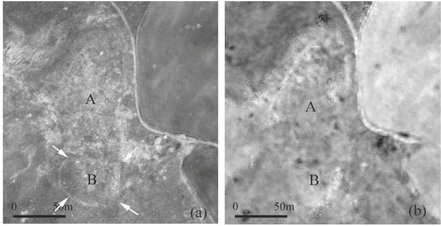
| Caption | NIR pansharpened band. A ditched enclosure (B) and traces of surface walls of the castle (b1) are evident. NDVI map which puts in evidence not only the defence system but also a urban sector (a1) sited along the western border of the hilly plateau. |
| Figure number | 4 |
| Article | Investigating lost medieval villages using Satellite and Airborne Laser Scanning: the case of Yrsum in Basilicata (Southern Italy) |
| Authors | Masini N., Coluzzi R., Lasaponara R. |
| Volume | Volume 21 |