IADI Image
Metadata
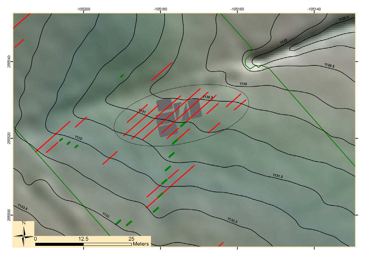
| Caption | GIS based documentation of the Mauken F site: the high resolution 3D digital models of the excavation layers and the result of a ground-penetrating radar measurement (photo Land Tirol Airborne LiDAR dataset). |
| Figure number | 3 |
| Article | Utilization of airborne LiDAR datasets in GIS environment for prospection of archaeological sites in high Alpine regions |
| Authors | Kovacs K., Hanke K., Lenzi K., Possenti E., Brogiolo G. |
| Volume | Volume 23 |