IADI Image
Metadata
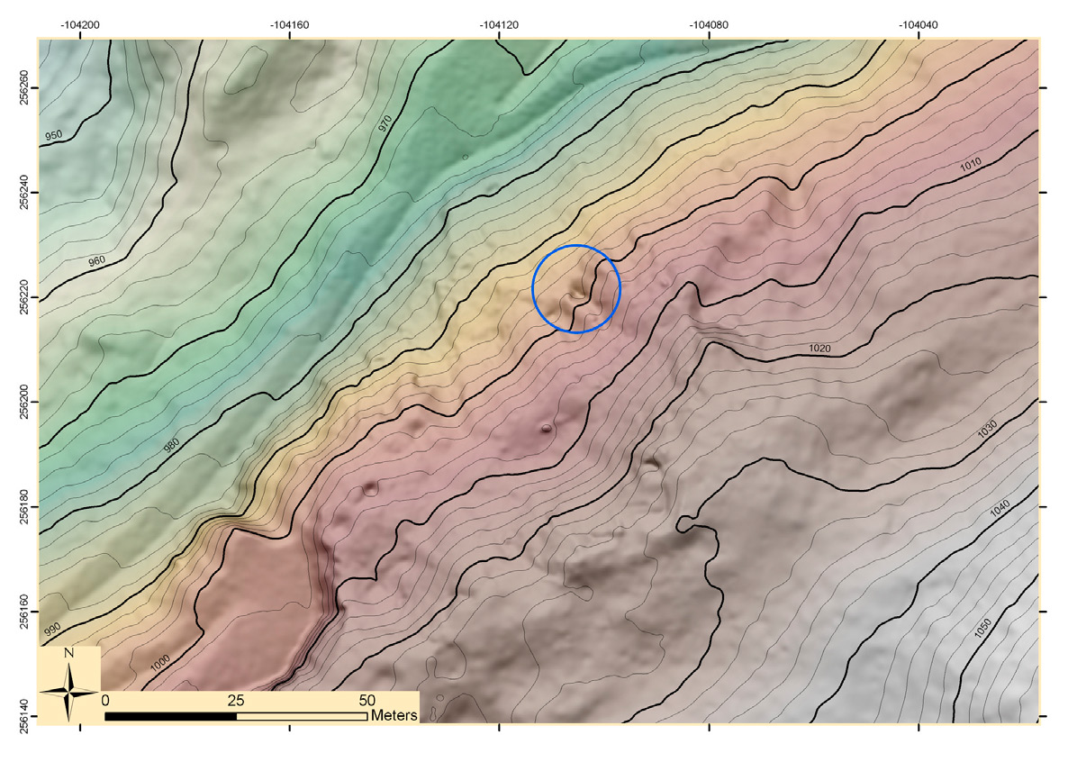
| Caption | High resolution DTM of the Mauken E site: the circle indicates the mining entrance (photo Land Tirol Airborne LiDAR dataset). |
| Figure number | 2 |
| Article | Utilization of airborne LiDAR datasets in GIS environment for prospection of archaeological sites in high Alpine regions |
| Authors | Kovacs K., Hanke K., Lenzi K., Possenti E., Brogiolo G. |
| Volume | Volume 23 |