IADI Image
Metadata
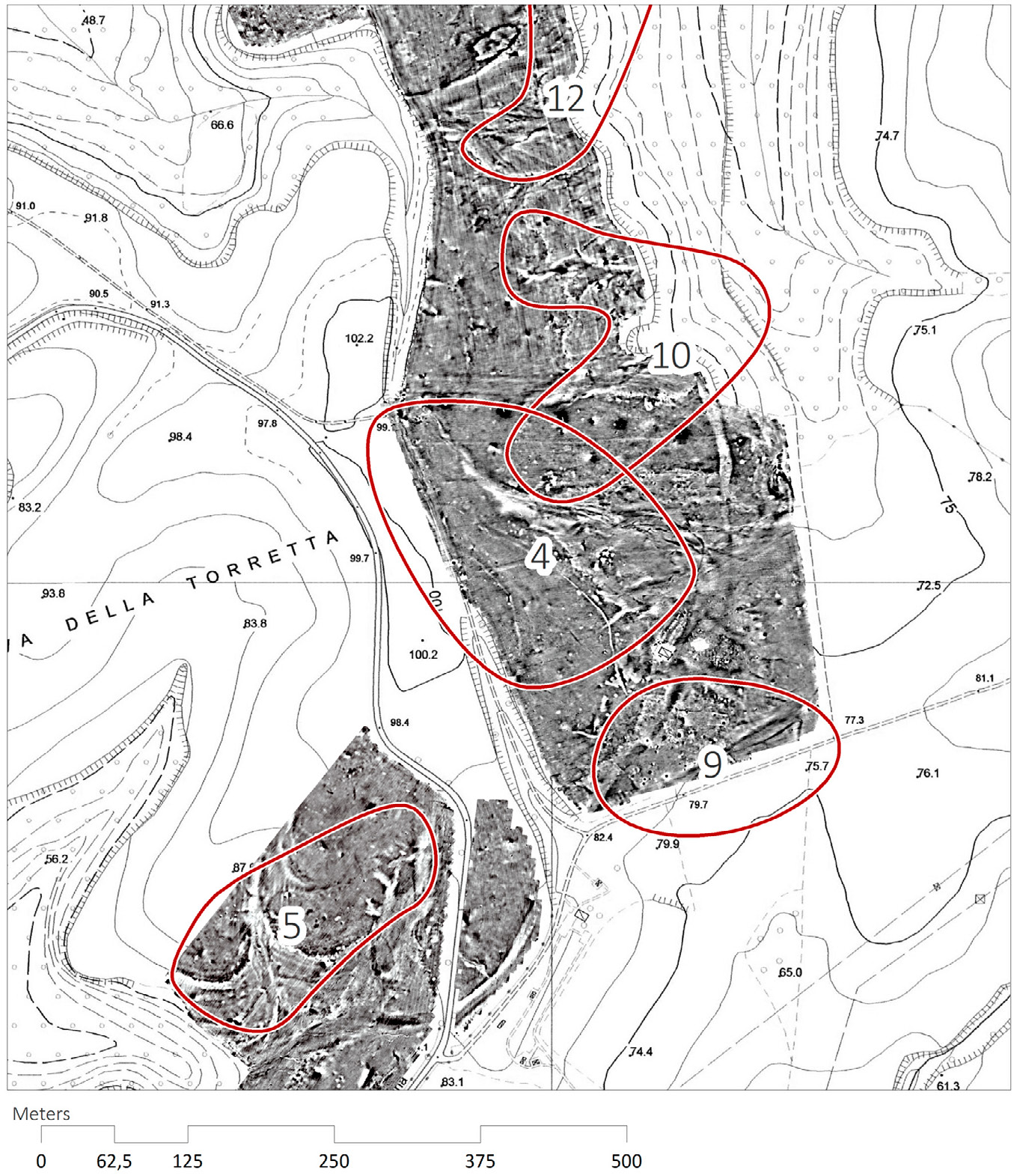
| Caption | Geomagnetic prospections at Crustumerium reveal anomalies in the subsurface that are spatially related to areas of soil loss and surface find accumulation (adapted from Attema et al. 2014, fig. 9). |
| Figure number | 10 |
| Article | A hand to the plough. A GIS-based cartographical analysis of changes in elevation due to terrain modification and erosion in the settlement area of ancient Crustumerium |
| Authors | Seubers J., Trienen T. |
| Volume | Volume 26 |