IADI Image
Metadata
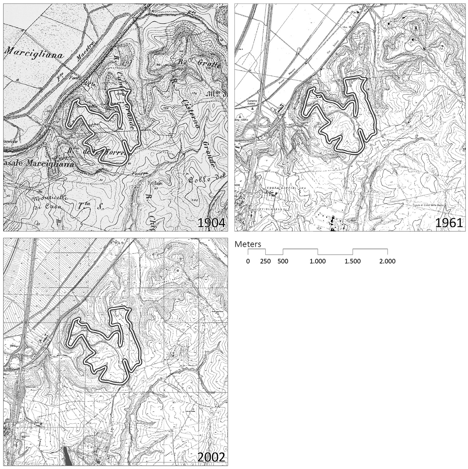
| Caption | Overview of the three cartographical sources used in the analysis (see Table 1), compiled from sources of the Istituto Geografico Militare, Università di Roma “La Sapienza” and Sistema Informativo Territoriale Archeologico di Roma. |
| Figure number | 4 |
| Article | A hand to the plough. A GIS-based cartographical analysis of changes in elevation due to terrain modification and erosion in the settlement area of ancient Crustumerium |
| Authors | Seubers J., Trienen T. |
| Volume | Volume 26 |