IADI Image
Metadata
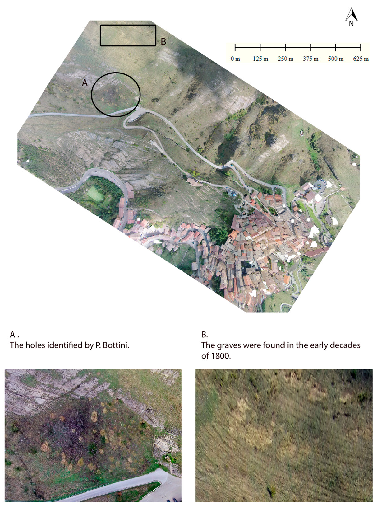
| Caption | 3D Model and DEM of the peak of Mount Siri. |
| Figure number | 1 |
| Article | When there was no GIS system: rediscovering archaeological researches of the 19th century through the use of the drone. The case study of Mount Siri (Anzi, Basilicata) |
| Authors | Pecci A., Donnici F. |
| Volume | Volume 28(2) |